01
Aerial capture
Aircraft &
support platforms.
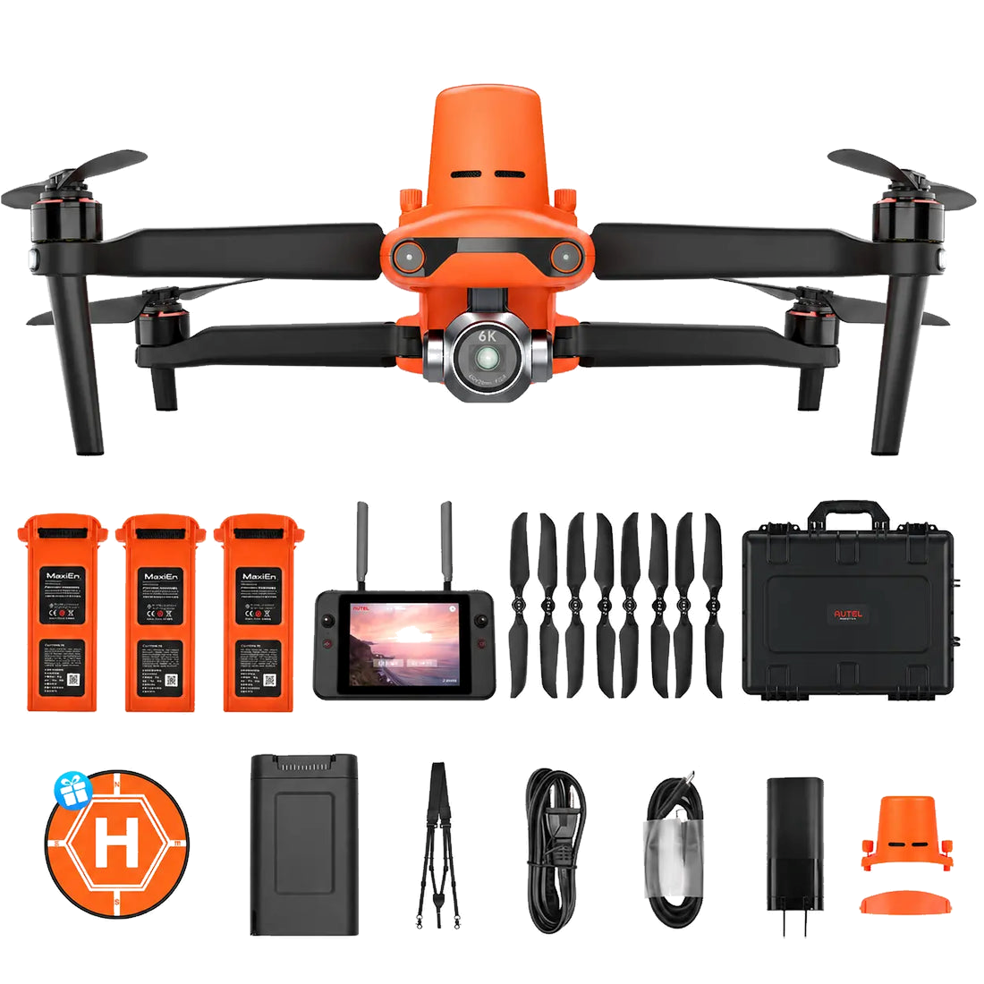
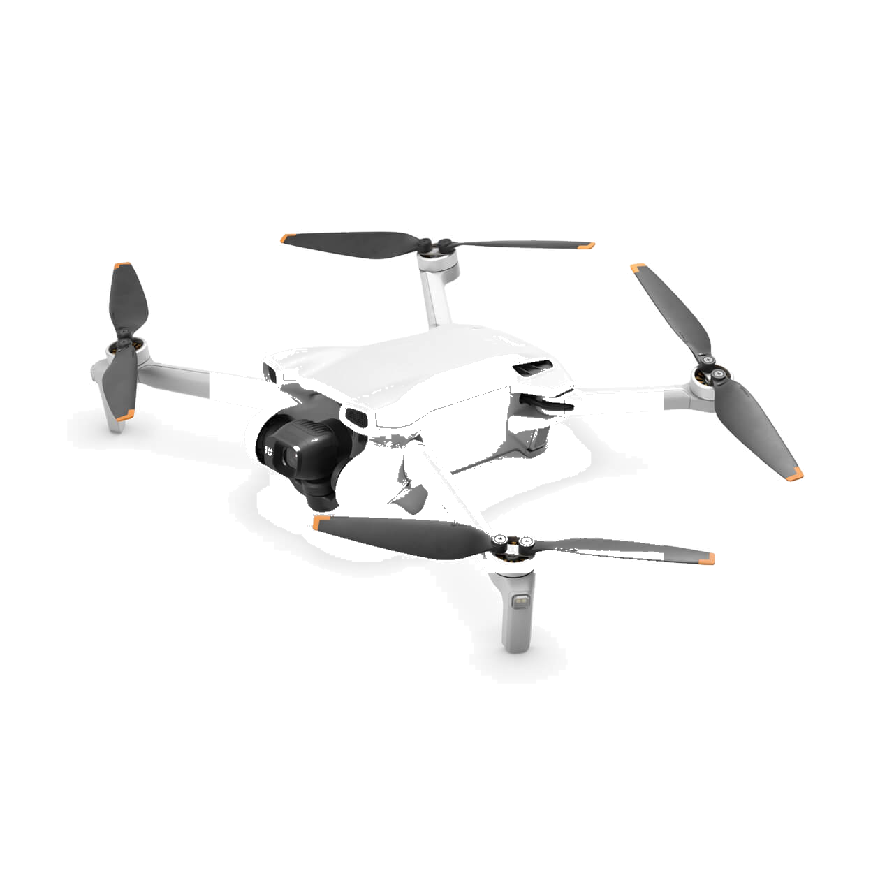
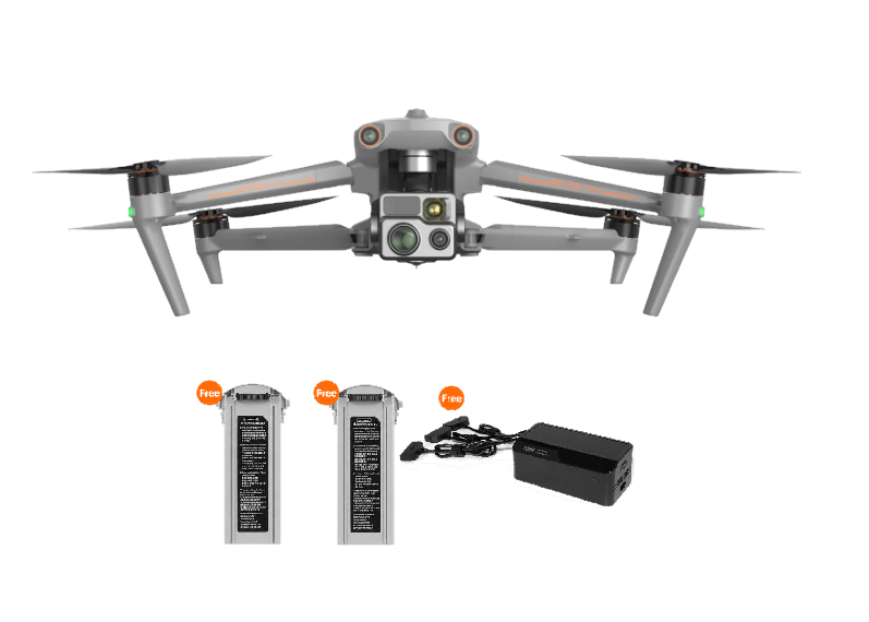
Purpose-built aircraft matched to mission requirements, from RTK-precision mapping to close-range inspection and 4K media.
Equipment / Fleet
Enterprise-grade aircraft, RTK survey systems, and photogrammetry software behind every CYTA Aerial deliverable.
Aerial capture
Purpose-built aircraft matched to mission requirements, from RTK-precision mapping to close-range inspection and 4K media.
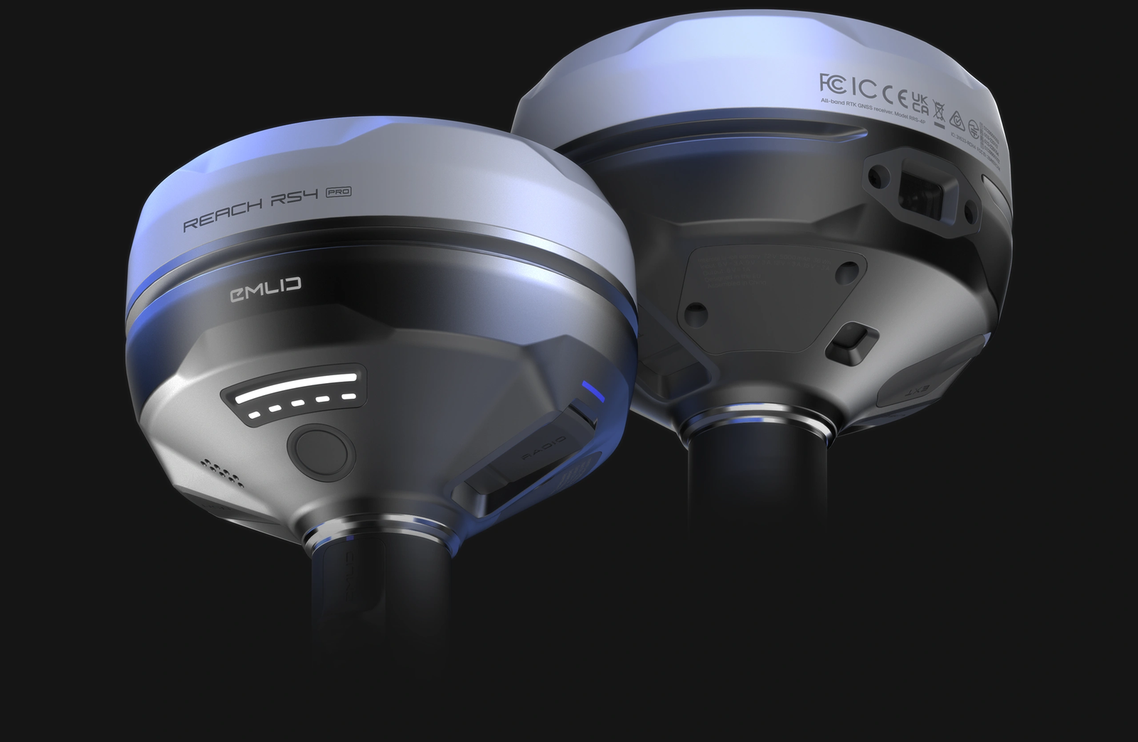
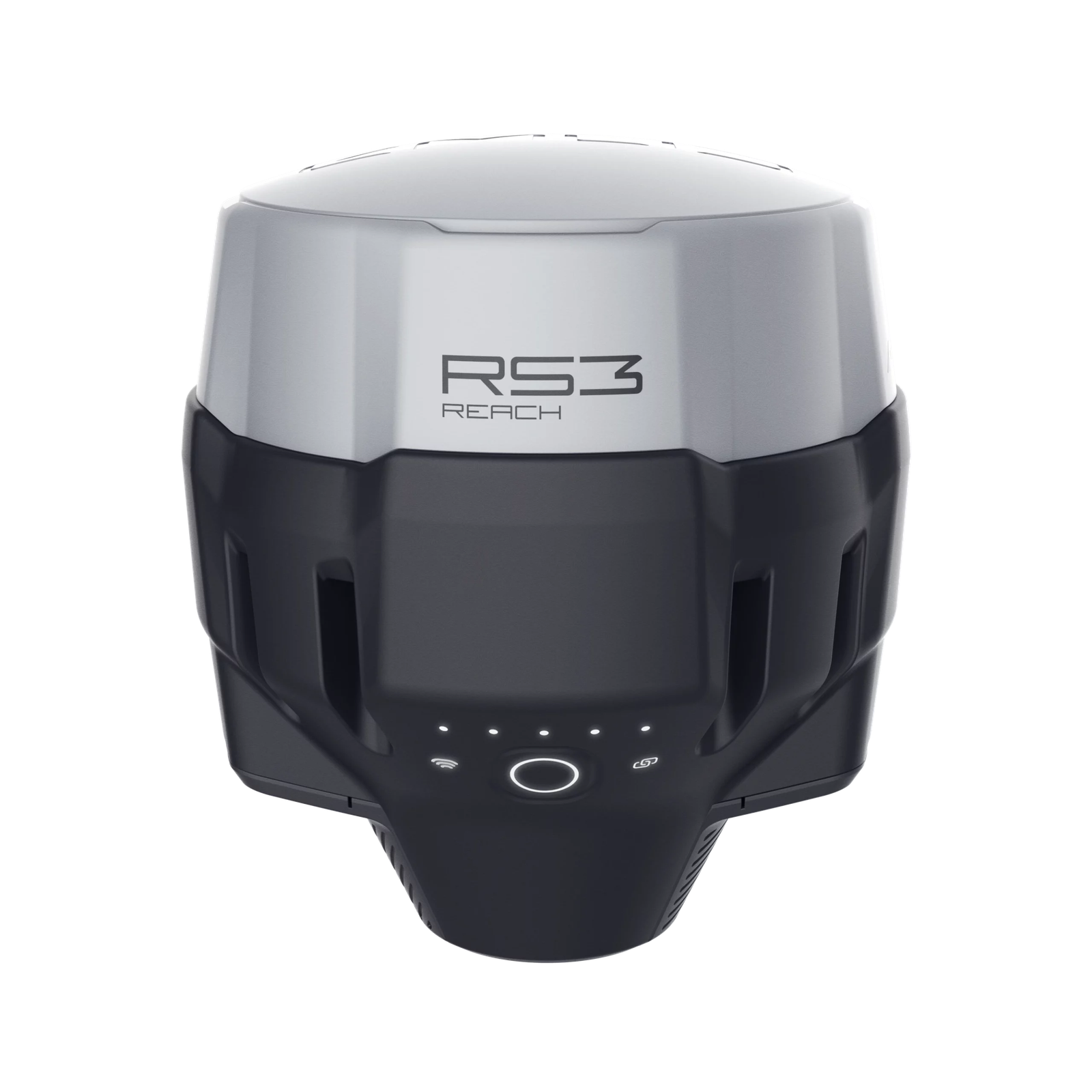
Positioning & accuracy
RTK base and rover systems deliver survey-grade positioning accuracy for ground control points and checkpoint capture.
Data processing
Captured imagery is processed into deliverable-ready maps, models, and measurements.

Flight operations
Flight-planning software supports precise, repeatable missions from takeoff through data capture.


West-Central Florida
From site mapping to storm-damage inspections, our fleet is maintained, insured, and ready to fly.
Tell us what you need ↗